Researchers map ocean floor around Samos to study active faults
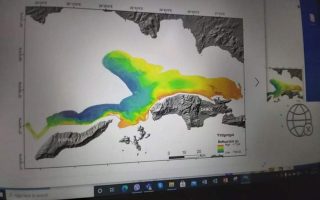
Greek scientists and researchers completed on December 6 the full mapping of the seabed around the island of Samos in the eastern Aegean and a large section of the Icarian Sea, as part of a project to understand the morphology of the ocean floor in the area.
The data collected will be used to create a high-resolution bathymetric map and shed light on the potential of all active faults.
The seven-day mission was conducted jointly by the Department of Geology and Geoenvironment of the National and Kapodistrian University of Athens (EKPA) and the Hydrographic Service (HS) of the Hellenic Navy, headed by Assistant Professor of Geology in EKPA, Dr Paraskevi Nomikou.
Dr Nomikou said such maps have already been made by the EKPA research team for the North Aegean, the Skyros basin, the Amorgos basin, Santorini, Kos and Nisyros. These maps are considered necessary for the Aegean and the Ionian Sea for the recording and assessment of underwater geo-hazards (earthquakes, landslides, tsunamis, etc.).
The Hellenic Navy General Staff (HNGS) supervised the project.
At the end of the mission, the team had mapped a total of 1,478 Km2.
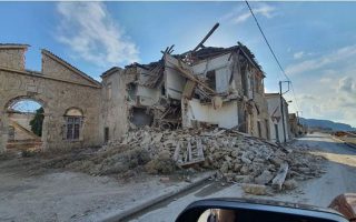
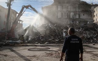
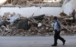
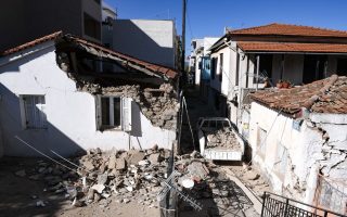
HNGS said the project was given the green light after the deadly 6.7 magnitude earthquake that struck about 14 km northeast of Samos on October 30.
Two teenagers were killed in the tremor on the island and another 116 people in Izmir, Turkey, where several buildings collapsed.