All seismic faults in one digital map
Database to provide details on the locations, characteristics and potential seismicity

The Hellenic Survey of Geology and Mineral Exploration (HSGME) is working on a digital map that will provide details on the locations, characteristics and potential seismicity of the country’s fault lines. The database will also be enriched with input from all the other specialized agencies and will be open to the public and not just scientists.
“Every fault will be assigned a unique number and each will be inputted with details concerning its geographic position, incline, length, depth and energetic properties,” explains Dimitris Galanakis, HSGME’s head of disaster technology management. “In the case of faults that have been studied in greater detail, we can, depending on their characteristics, make some assessment of their earthquake potential,” he adds.
Moreover the database will provide relevant literature on the earthquakes – i.e. the history and publications around these faults – and even a text with conflicting scientific opinions, if available.
The digital map of the faults will be updated regularly.
“When researchers identify a fault zone that has not been mapped, they will be able to submit their data to the database. After being checked by a scientific committee, these data will be incorporated into the map. Our ambition is that in the next phase the digital map will be linked to the map of the National Seismograph Network and when a tremor occurs it will show the fault that is most likely to have been activated,” he said.
“It is not a classic but an interactive map, a dynamic database that will be constantly updated with the latest on seismicity in Greece,” said HSGME Director General Dionysis Goutis.
“The information will in principle be able to be used by the Organization for Earthquake Planning and Protection (OASP) committees, by research institutions, by the state, municipalities, but also by the public, as there is often misinformation on earthquake issues. And it will help planners who have to carry out geological suitability studies or plan a project in order to avoid the most dangerous areas,” he added.
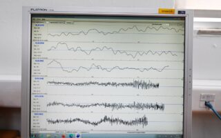
The last time a seismotectonic map was drafted in Greece was in 1991 and it is still the main point of reference used today.
“It goes without saying that this map had to be updated, as 30 years has passed, during which scientific knowledge has advanced,” Goutis said, adding that within the next six months the data available to the scientific bodies will be inputted.