US proposal to break NATO map deadlock
Compromise includes dual names for the Straits, and Cyprus designation with coordinates

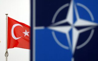
In order to break the impasse and activate the new operational maps for North Atlantic Treaty Organization exercises and missions, the US delegation in Brussels has proposed a compromise within the Alliance that would give the Bosporus and Dardanelles Straits dual names, delete the reference to the Republic of Cyprus, and replace it with coordinates describing NATO exercises in the Eastern Mediterranean.
It should be noted that Greece and Turkey disagree on how to describe the straits that Athens names in accordance with the Montreux Convention (1936), namely the Dardanelles Strait, the Bosporus Strait, and the Sea of Marmara.
However, according to Turkey, the Dardanelles is the “Canakkale Strait” and the Bosporus the “Istanbul Strait,” while it has kept the name of the Marmara Sea.
The Greeks had proposed the term “maritime choke points” to break the deadlock, but this was rejected by Ankara.
As a result, the Americans have proposed that the plans clearly state that Turkey uses its own name for the Straits (“Turkish Straits”), while any other member can use the terminology found in the Montreux Convention, which governs the status of the Straits and is an internationally recognized treaty.
So far, the Greek side has not accepted the proposal, despite the fact that the representatives of the other countries have effectively backed down.
Apart from the risk that the concept of the “Turkish Straits” could be adopted by other NATO member-states, there is skepticism on the Greek side as to whether this tactic of using two different names that may identify the same issue (in this case a geographical point) could be used by Ankara as an argument for use on other issues as well.
Others however argue that this type of compromise is common at the NATO level and should not be given more weight.
On the question of the name of the Republic of Cyprus, a much more broadly supported compromise solution won out after Ankara virtually vetoed it. Geographic coordinates will be given to each area shown on the new NATO operational maps. This will apply to all the regions where NATO forces will be deployed (for operations or exercises), not just the specific locations in the Eastern Mediterranean that pertain to the rights and territory of the Republic of Cyprus.
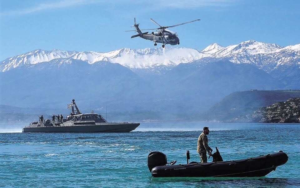
The sea area off the coast of Kythera, where the Russian Navy has an anchorage, to Syria, where there is the Russian naval base of Tartus, is an area of intensive operational activity with a large presence of US, NATO and Russian warships.


