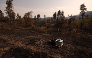
Over 46,000 hectares burnt by wildfires in Evia
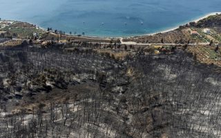
A charred forest area is seen next to the beach of the village of Rovies following a wildfire on the island of Evia, Greece, August 12, 2021. Picture taken with a drone. [Alkis Konstantinidis/Reuters]
The catastrophic wildfires which started on August 3 on the island of Evia have burnt approximately 46,582 hectares, the National Observatory of Athens’ center Beyond said on Thursday.
The figure was reached after analysing 4 different high-resolution images from the European satellite Sentinel-2 on August 11, it said. The estimate given by Copernicus EU satellite imagery is 50,000 hectares.
Beyond was also able to detect the different types of burnt land:
– 19,770 hectares of forestland
– 9,960 ha of low brush land
– 9,065 ha of farmland
– 7,772 ha of grassland
– 435 ha of green zones used for leisure activities
– 80 ha of sparse vegetation
[ANA-MPA]