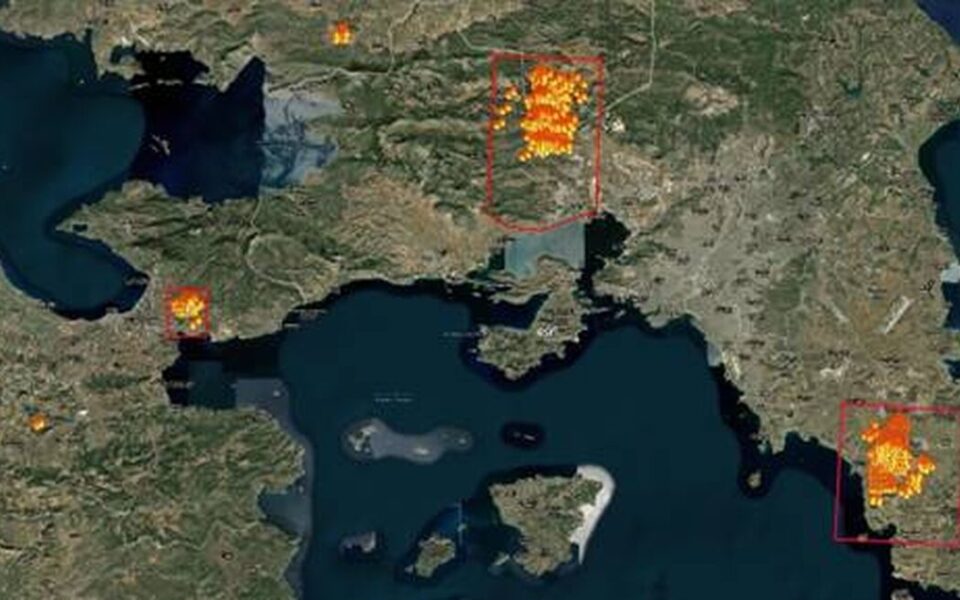
Copernicus system activated to map burned areas

Copernicus, the EU’s Earth observation program, has been activated for the immediate mapping of the areas in Eastern Attica, Western Attica, Viotia and Corinth (Loutraki) that has been burned in wildfires since Monday.
The purpose of the activation is the production of maps and data of the affected region, to assist the work of agencies involved in dealing with emergencies and managing the consequences of the fire.
The service was activated following three requests in 24 hours from the Greek authorities, including the general secretary of civil protection.
The data and maps of the Copernicus Emergency Management Service will be made available directly by the General Secretariat for Civil Protection to all stakeholders free of charge for the performance of their duties.
“We will deliver delineation and damage grading maps soon after delivery of the [aerial] imagery we have ordered from VHR [very high resolution] Copernicus Contributing Missions,” the agency said in a tweet.
Our #RapidMappingTeam has received 3⃣ activations for #wildfires from #Greece 🇬🇷 in less than 24h‼️
We will deliver delineation & damage grading maps soon after delivery of the 🛰️ imagery we have ordered from VHR #Copernicus Contributing Missions#EMSR672 #EMSR673 #EMSR674 pic.twitter.com/bhOufIn2XP
— Copernicus EMS (@CopernicusEMS) July 18, 2023


